19 March 2025

We had time for a 3 to 4 hour hike along the Milford Road after doing our Milford Sound cruise in the morning.
We chose to do the hike to Key Summit instead of a steep 3-hour walk to a stunning alpine lake called Lake Marian. The hike to Key Summit is supposed to be easier than Lake Marian, and it is also supposed to be one of the best short hikes in Fiordland National Park.
Sharing the first part of the trail with the Routeburn Track (one of the Great Walks), the track begins at The Divide, about 85km north of the Milford Highway from Te Anau.
Some information on the trail to Key Summit
-
6.8 km return
- Approximately 3 hours as estimated by the Department of Conservation.
- It shared the first part of the trail with the multi-day, 32 km Routeburn Track (one of the Great Walks of NZ) that links the Mount Aspiring National Park with Fiordland National Park.
- The trail to Key Summit begins at The Divide, 85 kilometres along the Milford Road from Te Anau.
- Elevation gain: 387 meters. Base elevation: 532 meters at The Divide.
Summit elevation: 919 meters.
It was slightly after 2 PM when we arrived at the car park near the trailhead. Google Map Location here.
The Routeburn and Key Summit hikes are very popular and we had a hard time finding a parking spot at the car park near the Divide where the trail starts. We managed to find a space on our second “tour” round the car park.

Sign at the start of the Routeburn Track and Key Summit trail.
The first part of the walk was on a well maintained track, under a beautiful canopy of mossy trees with ferns and thick undergrowth on our right side and a steep drop-off on our left.

We saw a lot of people with bigger backpacks who are either just starting out their 32-kilometre Routeburn walk, or just ending it. Of course, there are also family groups, like us, with small packs or even no packs that are aiming for Key Summit.
This is the easy-peasy part of the trail. The incline is uphill but gentle, and shaded by the lush foliage of the Fiordland forests. We passed a small waterfall with water trickling down on our right.
We could hear birds calling and saw a few of these little critters with blue and blacks feathers.


As we climbed higher, the lush forest soon gave way to shrubs.

After an hour on the Routeburn trail, we came to the turn-off to the Key Summit Track itself. This is the detour to the Key Summit that would take about 1 hour to and back.
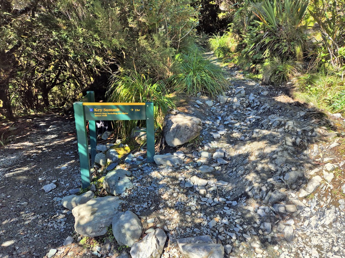
Signage at the junction pointing to Key Summit. “Key Summit – 1 hr return time, including the alpine nature walk.”
We spotted two large backpacks left by the side of the trail. They were temporarily abandoned by hikers doing the Routeburn Track and wanted to go check out the Key Summit trail before continuing.
Taking the trail on the right, the track starts to break above the canopy of trees. We had the sun beating down on us. The good thing is that we could see the surrounding vistas and stunning panoramic views of Fiordland National Park much better.


The trail gets even steeper on this part. Although it is tiring, we knew we would be reaching the summit very soon, not like our hike up Roy’s Peak where the switchbacks seems endless.
Soon enough, we were at the summit and welcomed by the sight of a long drop toilet and the trail flattens. It was about 3.45 PM when we arrived at the summit. We had taken about 1 hour 25 minutes.
Key Summit got its name because it is the highest point where water the top could flow into three different valleys, with each valley river flowing to a different coast. At an altitude of 919 meters, we have almost 360-degrees perspective of the surrounding Humboldt and Darran Mountain Ranges.
We followed the clearly-marked alpine nature trail through a range of native vegetation. This is a loop trail that would take about 30 minutes. We took loads of photos of the stunning views.

One of the highlights for me is the small mountain lakes or tarns at the summit. They made the photos looked much more interesting. Unfortunately, the wind was quite strong on a clear day and there were ripples on the water surface. Otherwise, it would be great to see the mountains reflected on these pools of water.


Although the sun is out, there was a chill factor from the wind. As always, we had our hiking jackets with us.


There is a detour or extension from the loop trail that leads to the true summit with views towards Lake Marion, an alpine lake hidden in a hanging valley above the Hollyford Valley.


We continued along the nature loop until we reached the start again and then returned back to the car park via the same route down.
It was about 5.40 PM when we arrived back at the car park. We were tired but glad that we had experienced of one of the best short hikes in Fiordland National Park.
Some tips on doing the Key Summit hike.
1. Apply sun-screen and bring sun protection like hats and sunglasses.
2. Although we were not bothered by sandflies, bring and apply sandfly repellent.
3. The weather is notorious for changing quickly, be prepared for rain and cold conditions, especially in the exposed sections near the summit.
4. Good footwear and hiking poles are recommended.
5. Bring plenty of water and snacks.
6. Bring your camera as the views are stunningly beautiful!
7.There are toilets with fresh water at the car park (start of trail) and also one without water at the summit.
No comments:
Post a Comment