24 August 2023
Daisetsuzan National Park sits in the heart of Hokkaido and is Japan's largest national park. In the park is Mount Asahidake, Hokkaido’s highest mountain at 2291 meters.

Daisetsuzan National Park is a popular place for hiking in the summer months of July and August. Ropeways (cable cars) at Asahidake Onsen and Kurodake Onsen bring visitors midway up the mountain for quick access to hiking trails of all levels.
Daisetsuzan National Park is easily accessible by car from Asahikawa where we were staying on Day 2 and Day 3 of our road trip round Hokkaido.
We chose to do the 1.7 km Sugatami Pond Loop Trail that is accessible by the Asahidake Ropeway. This scenic hiking course from the Asahidake Ropeway’s Sugatami Station takes less than 2 hours to complete and is suitable for novice hikers.
Asahidake Ropeway will bring us from the base station at 1100 meters to the Sugatami Plateau at 1600 meters above sea level. This plateau is a flat walking area with trails that meander between ponds, fumaroles and high-mountain flora. It also offers excellent views of Mount Asahidake.
We started our day with an excellent breakfast at Mimatsuso Ryokan that provided us with the energy that will fuel our exertions later on.


The first thing I did when I woke up on this day is to check the live webcam and weather conditions on the mountain.

The drive from our ryokan in Asahikawa to the Asahidake Ropeway took about 1 hour. It was an easy drive except the last part, after Lake Chubetsu, where our car had to zigzag up the narrow switchback road to Asahidake Onsen at 1100 meters ASL.
We parked at the Asahidake Visitor Center which is about 100 meters from the ropeway station. This car park is free of charge while the car park at the front of the ropeway station charges 500 yen.
The Asahidake Visitor Center is a good place to start a visit to Daisetsuzan National Park. In addition to free parking, it offers an overview of the Daisetsuzan mountain ranges, hiking trails, flora and wildlife that could be found within. There are also excellent toilet facilities that hikers should make use of before going up the mountain.


Although there are hiking trails from the Visitor Center up to Sugatami Plateau, we took the ropeway up. Return tickets cost 3200 Yen per person and it is definitely better than hiking up through the pine forest where dangerous brown bears roam.


We could immediately feel the pleasant conditions upon arrival at the plateau. There was clear blue sky with scattered clouds and 22 degrees Celsius temperature and light breeze. This was so nice compared to the summer heat we endured over the last 2 days.
 Inside the station, staff made a short presentation (in Japanese) on what to expect at Asahidake.
 Sugatami Station is also the starting point for a 3 hour hike to the peak of Mount Asahidake with an elevation gain of 690 meters. This hike, although doable, was not for us on this day. I had already planned a better hike up to the summit of Mount Meakan (another active volcano) later in this trip.
We took a map of the Sugatami Pond Loop Trail as shown below and did the much easier hike.

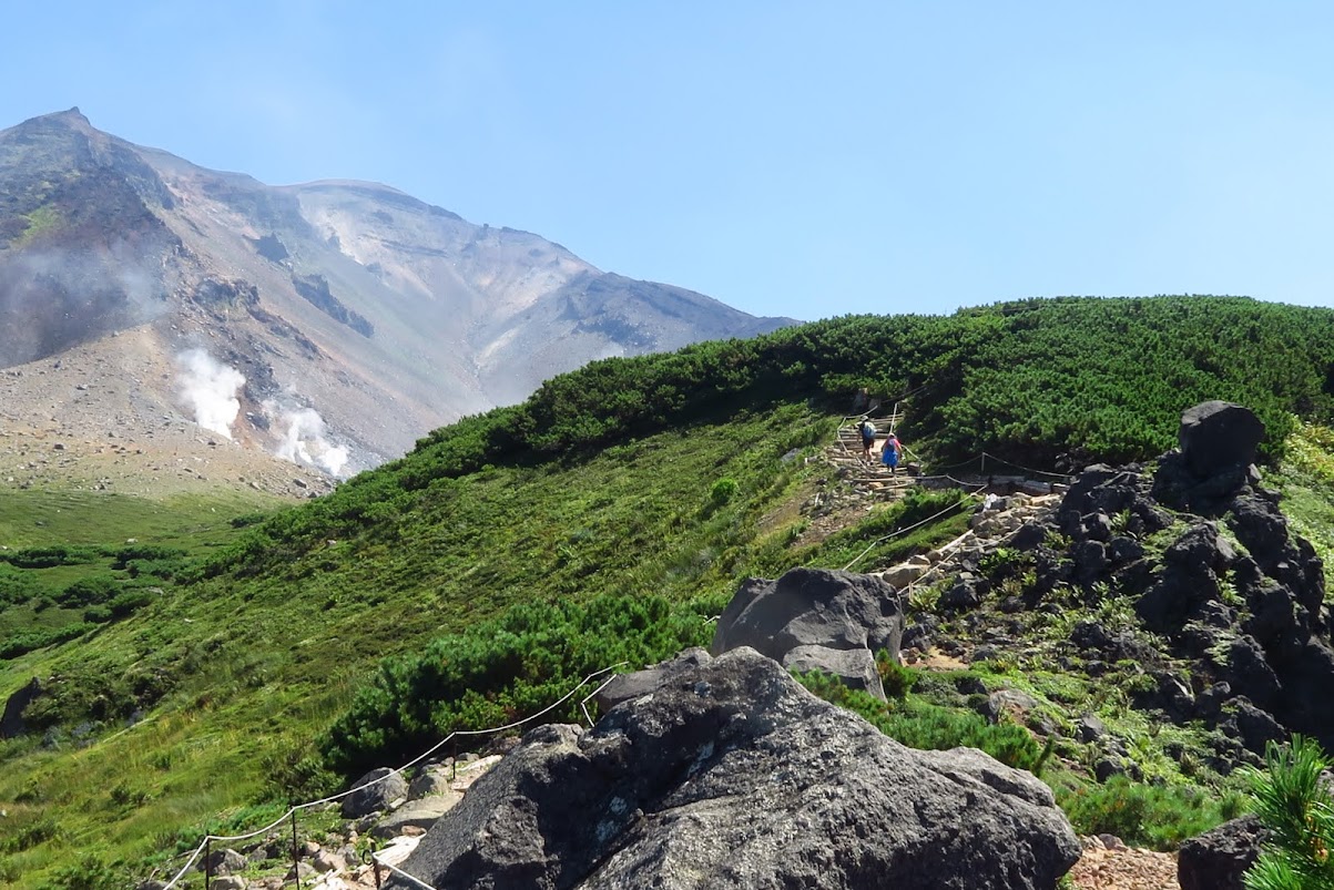
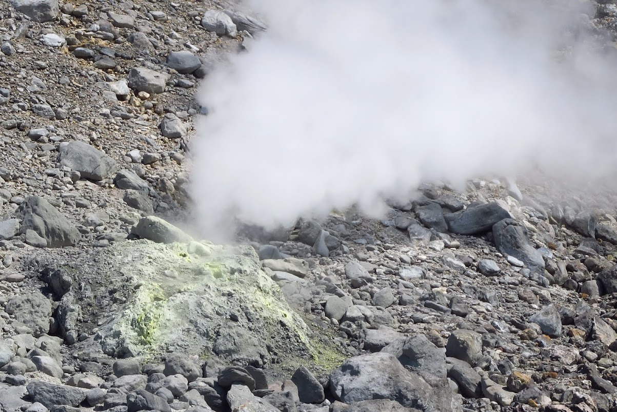
The volcanic scenery on this mountain is spectacular. There is an alpine feel that made me recall our hikes in Switzerland. But somehow, hiking at Daisetsuzan National Park is slightly different. Mount Asahidake is still an active volcano, as shown by the plumes of steam gushing out from vents in the distance.
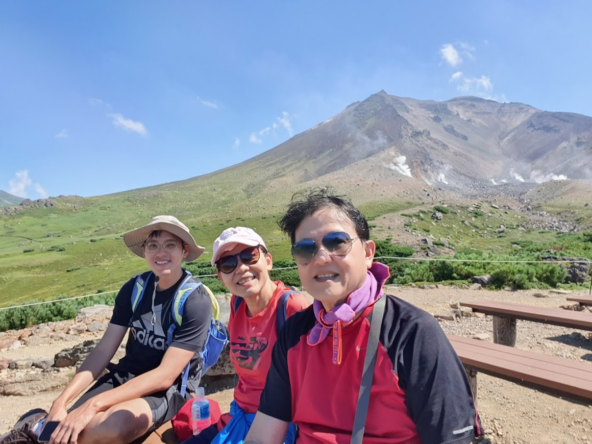
We took about 2 hours to complete the course as we stopped very often to snap photos. These are the photos we took during our hike.


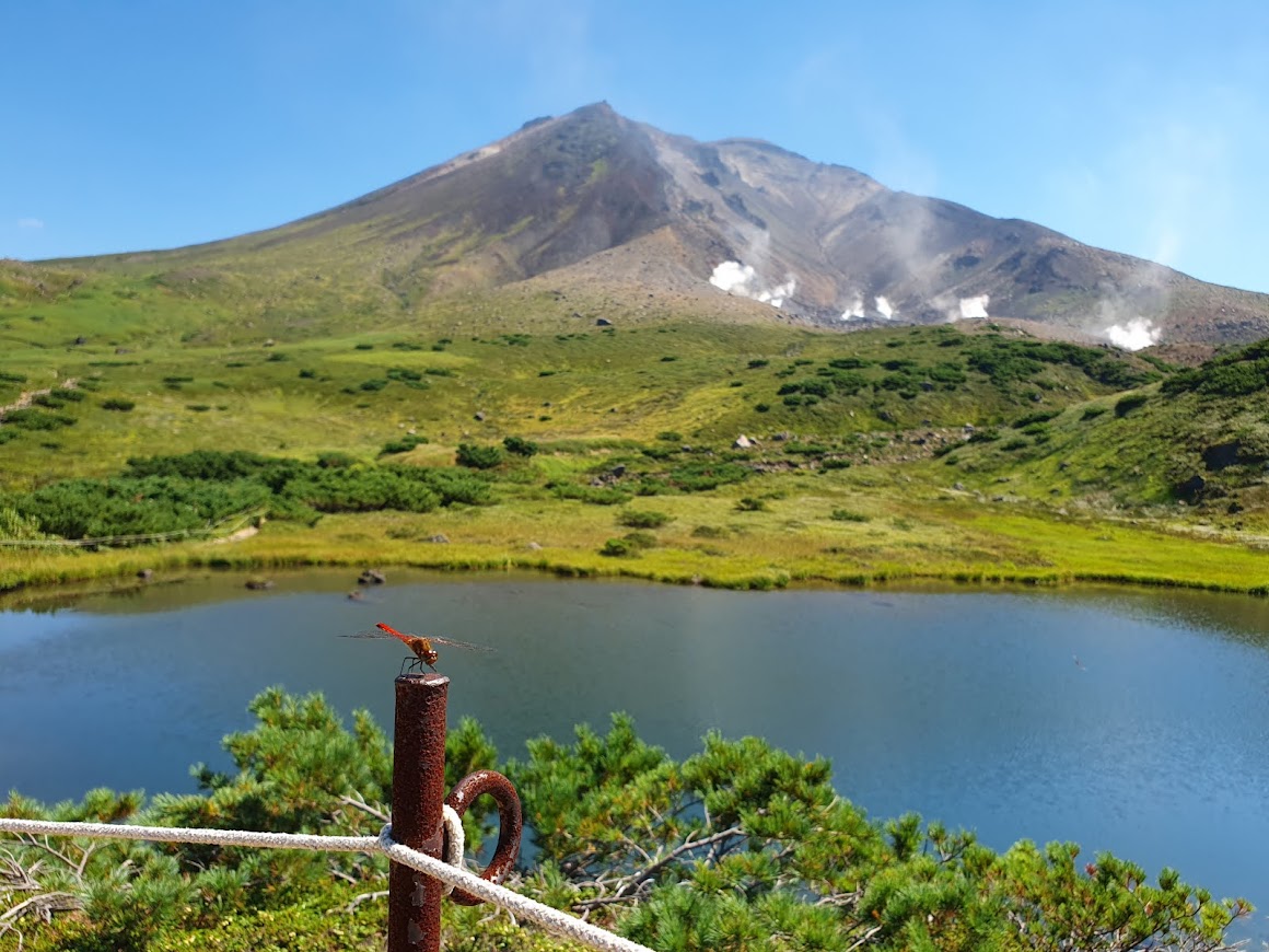


This signage is a reminder that Mount Asahidake is an active volcano. The current shape of Mount Asahidake looks like it has been split into two. In the past, it was a taller conical mountain. A massive eruption 2800 years ago blew away the top!

 On the trail to the 5th observation point.